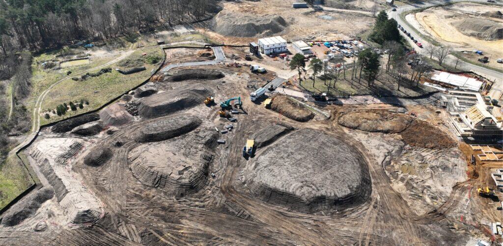
Tim Price from Mitcham Surveys (part of the Mitcham Group) kindly visited one of our Soilfix sites to deliver a practical training day on topographical surveying.
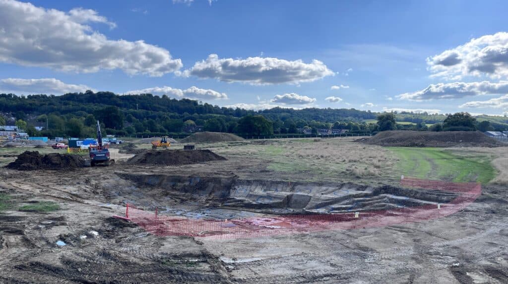
A topographical survey collects information on both the natural and man-made characteristics of the terrain, including its features and contours. The survey accurately defines permanent structures such as buildings, fences, trees and streams, which serve as boundaries for the land. Additionally, it provides spot levels that indicate the elevation of the terrain. On Soilfix brownfield reclamation projects, these surveys are key to accurately record (and quantify) excavations, material stockpiles and other key features.
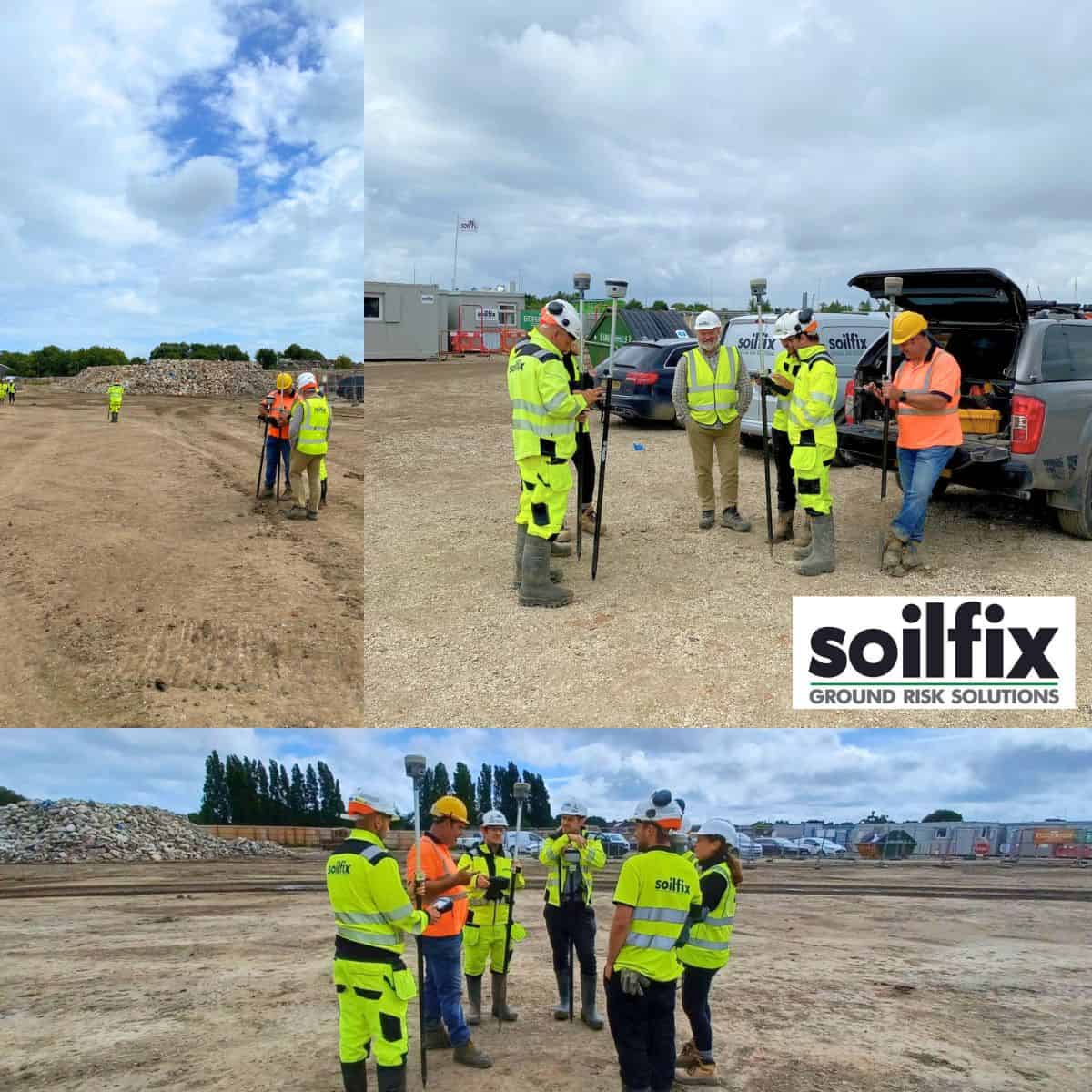 Topographical surveying can be an intricate technical subject to cover, but the staff involved in the training (Dan Simons, Lawrence Bell, Arno Van Averbeke, Emma Geering, Charlie Gurr and Matt Izard) were delighted with the course content and picked up some valuable insights, in particular was the section on using a Trimble GPS.
Our Remediation Engineer, Arno Van Averbeke commented:
‘Tim’s training helped with some amazing tricks and shortcuts to make effective use of the Trimble GPS not only a very useful tool, but a powerful tool as well.’
We would like to thank Mitcham Surveys, one of our most trusted specialist partners, for giving their time and attention to help further develop some of our technical staff in land surveying.