In addition to carrying out regular topographical surveys and excavation/stockpile volume quantifications from the air, without even having to go out on-site with their equipment, Tim Price at Mitcham Surveys has now developed the technology to provide Soilfix with a regular 3D Orthomosaic Survey output.
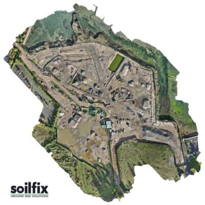
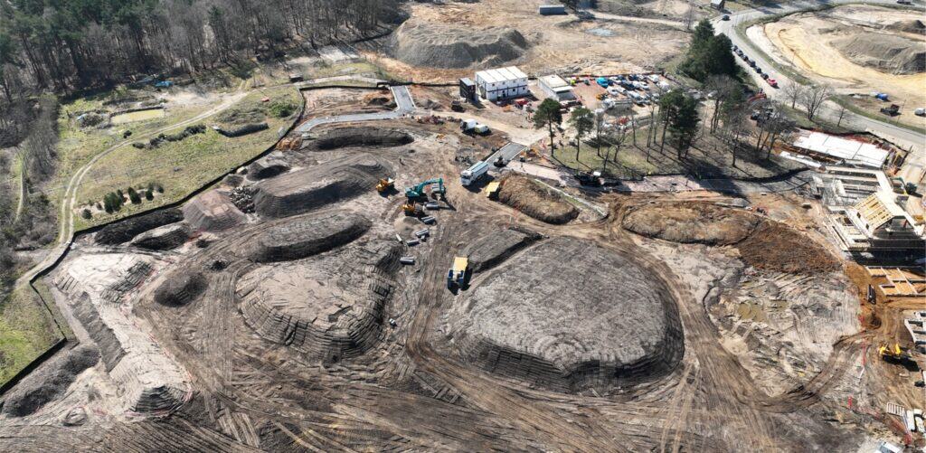
This image from our site at Tipner is compiled by combining many smaller images called orthophotos.
An orthomosaic is a large, map-quality image with great detail and resolution made by combining many smaller images called orthophotos, like Google Earth but way sharper. Sometimes referred to as an orthophotograph or an orthoimage, it’s an aerial photo that has been corrected for lens distortion, camera tilt, perspective, and topographic relief (changes in the elevation of the earth’s surface). These corrected orthophotos have no distortion whatsoever and are at a uniform scale across the image.